Mayne Close, Hampton Magna
Introduction
The photograph on this page of Mayne Close, Hampton Magna by Robin Stott as part of the Geograph project.
The Geograph project started in 2005 with the aim of publishing, organising and preserving representative images for every square kilometre of Great Britain, Ireland and the Isle of Man.

There are currently over 7.5m images from over 14,400 individuals and you can help contribute to the project by visiting https://www.geograph.org.uk
Mayne Close, Hampton Magna
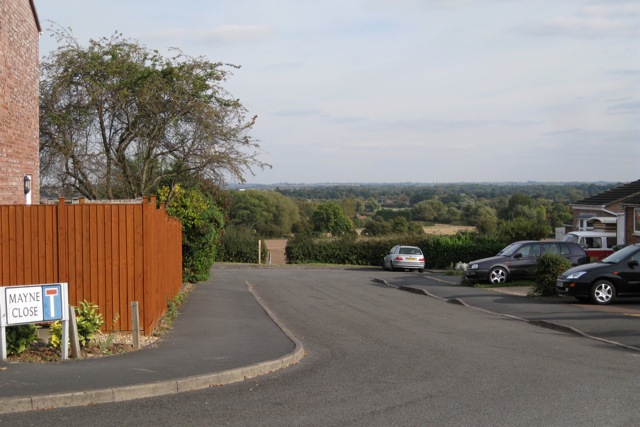
Image: © Robin Stott Taken: 1 Oct 2009
Hampton Magna is sited on the rim of the Avon valley so some properties enjoy stunning views. The public footpath from here is reportedly an old route between Warwick and neighbouring Hampton on the Hill.
Images are licensed for reuse under creativecommons.org/licenses/by-sa/2.0
Image Location
Latitude
52.279854
Longitude
-1.626184