Bridleway near Hennock
Introduction
The photograph on this page of Bridleway near Hennock by Derek Harper as part of the Geograph project.
The Geograph project started in 2005 with the aim of publishing, organising and preserving representative images for every square kilometre of Great Britain, Ireland and the Isle of Man.

There are currently over 7.5m images from over 14,400 individuals and you can help contribute to the project by visiting https://www.geograph.org.uk
Bridleway near Hennock
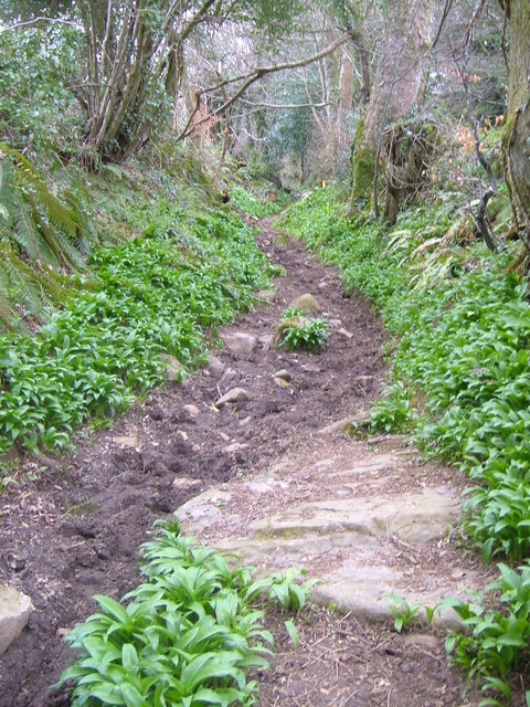
Image: © Derek Harper Taken: 13 Apr 2006
Looking north-west up this old track climbing steeply from the Five Lanes junction. Ramsons growing in abundance.
Images are licensed for reuse under creativecommons.org/licenses/by-sa/2.0
Image Location


Leaflet Map data © OpenStreetMap
Latitude
50.610606
Longitude
-3.65777