Recreation ground, Kelbourne Street
Introduction
The photograph on this page of Recreation ground, Kelbourne Street by Richard Webb as part of the Geograph project.
The Geograph project started in 2005 with the aim of publishing, organising and preserving representative images for every square kilometre of Great Britain, Ireland and the Isle of Man.

There are currently over 7.5m images from over 14,400 individuals and you can help contribute to the project by visiting https://www.geograph.org.uk
Recreation ground, Kelbourne Street
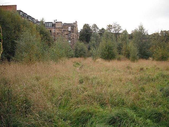
Image: © Richard Webb Taken: 26 Sep 2009
What is shown on the maps as a recreation ground has become an experiment studying plant succession. There are remains of tennis court fencing in the new woodland which is naturally taking over this neglected space. Untidy, but probably a wildlife haven.
Images are licensed for reuse under creativecommons.org/licenses/by-sa/2.0
Image Location
Latitude
55.882517
Longitude
-4.287011