Old Hemel
Introduction
The photograph on this page of Old Hemel by Colin Smith as part of the Geograph project.
The Geograph project started in 2005 with the aim of publishing, organising and preserving representative images for every square kilometre of Great Britain, Ireland and the Isle of Man.

There are currently over 7.5m images from over 14,400 individuals and you can help contribute to the project by visiting https://www.geograph.org.uk
Old Hemel
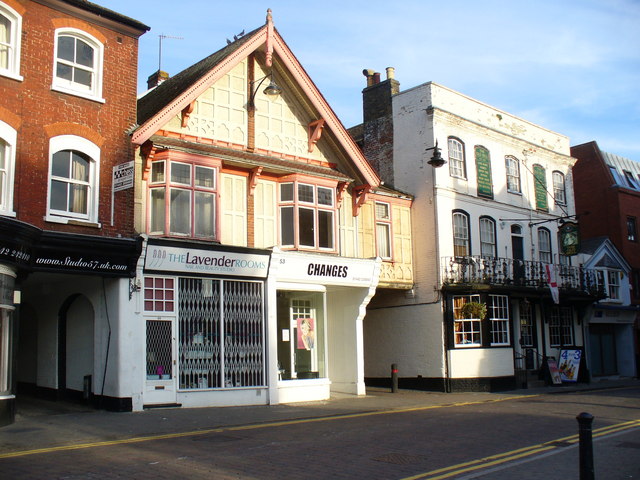
Image: © Colin Smith Taken: 27 Sep 2009
Interesting mix of architectural styles on Hemel Hempstead's High Street, facing the parish church of St Mary. http://www.dacorum.gov.uk/
Images are licensed for reuse under creativecommons.org/licenses/by-sa/2.0
Image Location
Latitude
51.759487
Longitude
-0.471945