Milner Lane, Saxton
Introduction
The photograph on this page of Milner Lane, Saxton by Rich Tea as part of the Geograph project.
The Geograph project started in 2005 with the aim of publishing, organising and preserving representative images for every square kilometre of Great Britain, Ireland and the Isle of Man.

There are currently over 7.5m images from over 14,400 individuals and you can help contribute to the project by visiting https://www.geograph.org.uk
Milner Lane, Saxton
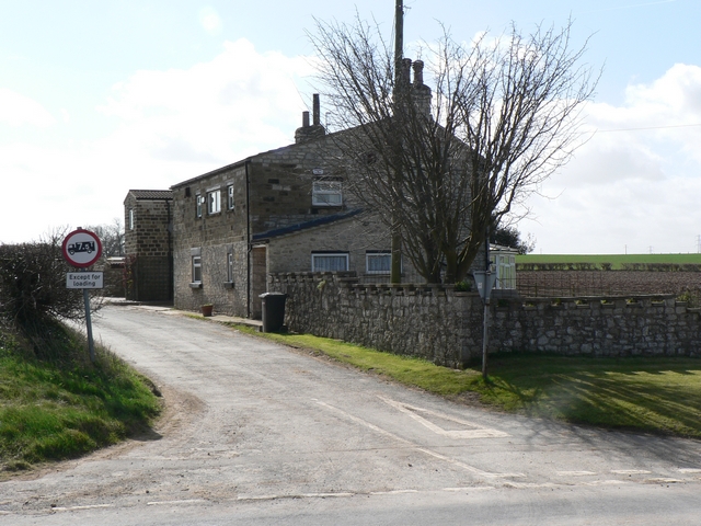
Image: © Rich Tea Taken: 13 Apr 2006
The north end of the lane, seen from the junction with the B1217. The name of the house is Castle Hill Cottage.
Images are licensed for reuse under creativecommons.org/licenses/by-sa/2.0
Image Location


Leaflet Map data © OpenStreetMap
Latitude
53.829836
Longitude
-1.285873