Ferry Quay Street, Londonderry/Derry
Introduction
The photograph on this page of Ferry Quay Street, Londonderry/Derry by Eric Jones as part of the Geograph project.
The Geograph project started in 2005 with the aim of publishing, organising and preserving representative images for every square kilometre of Great Britain, Ireland and the Isle of Man.

There are currently over 7.5m images from over 14,400 individuals and you can help contribute to the project by visiting https://www.geograph.org.uk
Ferry Quay Street, Londonderry/Derry
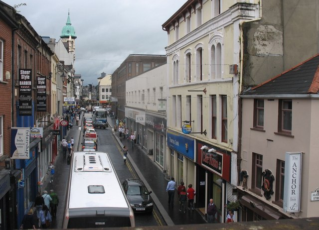
Image: © Eric Jones Taken: 19 Aug 2009
This heavily congested street leads from the Ferry Quay Gate to The Diamond - at the centre of the walled town.
Images are licensed for reuse under creativecommons.org/licenses/by-sa/2.0
Image Location
Latitude
54.994985
Longitude
-7.32048