Dismantled Railway, South Malling
Introduction
The photograph on this page of Dismantled Railway, South Malling by Simon Carey as part of the Geograph project.
The Geograph project started in 2005 with the aim of publishing, organising and preserving representative images for every square kilometre of Great Britain, Ireland and the Isle of Man.

There are currently over 7.5m images from over 14,400 individuals and you can help contribute to the project by visiting https://www.geograph.org.uk
Dismantled Railway, South Malling
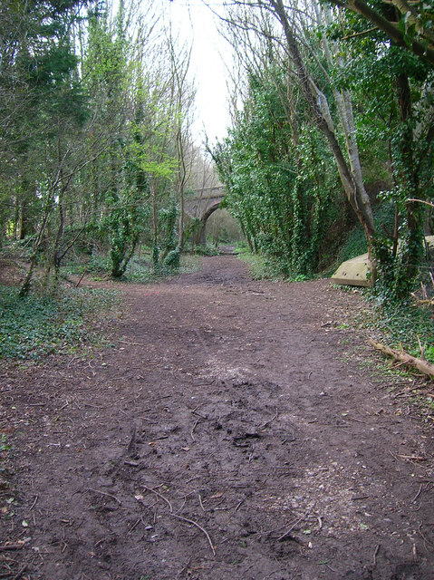
Image: © Simon Carey Taken: 12 Apr 2006
Church Lane bridge can be seen in the background. This is the last visible remains of the Uckfield to Lewes line as the everything south of this point has been eradicated.
Images are licensed for reuse under creativecommons.org/licenses/by-sa/2.0
Image Location
Latitude
50.8803
Longitude
0.008605