Terrig streamlet
Introduction
The photograph on this page of Terrig streamlet by Eirian Evans as part of the Geograph project.
The Geograph project started in 2005 with the aim of publishing, organising and preserving representative images for every square kilometre of Great Britain, Ireland and the Isle of Man.

There are currently over 7.5m images from over 14,400 individuals and you can help contribute to the project by visiting https://www.geograph.org.uk
Terrig streamlet
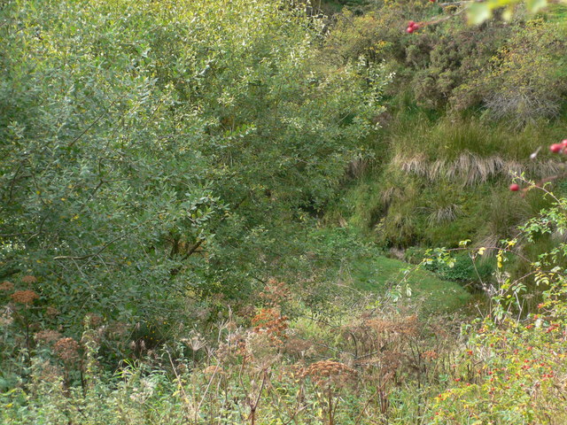
Image: © Eirian Evans Taken: 27 Sep 2009
One of the tributaries of the river Terrig in an overgrown little valley to the north-east of Rhydtalog.
Images are licensed for reuse under creativecommons.org/licenses/by-sa/2.0
Image Location
Latitude
53.087122
Longitude
-3.147834