Riseden Lane becomes Ranters Lane
Introduction
The photograph on this page of Riseden Lane becomes Ranters Lane by David Anstiss as part of the Geograph project.
The Geograph project started in 2005 with the aim of publishing, organising and preserving representative images for every square kilometre of Great Britain, Ireland and the Isle of Man.

There are currently over 7.5m images from over 14,400 individuals and you can help contribute to the project by visiting https://www.geograph.org.uk
Riseden Lane becomes Ranters Lane
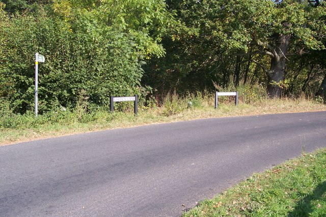
Image: © David Anstiss Taken: 26 Sep 2009
Riseden Lane heads left towards Riseden and Kilndown. Ranters Lane heads right towards Risebridge Farm and Station Road. The footpath leads to Sandfield Wood before rejoining Ranters Lane.
Images are licensed for reuse under creativecommons.org/licenses/by-sa/2.0
Image Location
Latitude
51.100222
Longitude
0.43721