Lambsfrith Grove, Hempstead
Introduction
The photograph on this page of Lambsfrith Grove, Hempstead by Chris Whippet as part of the Geograph project.
The Geograph project started in 2005 with the aim of publishing, organising and preserving representative images for every square kilometre of Great Britain, Ireland and the Isle of Man.

There are currently over 7.5m images from over 14,400 individuals and you can help contribute to the project by visiting https://www.geograph.org.uk
Lambsfrith Grove, Hempstead
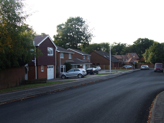
Image: © Chris Whippet Taken: 27 Sep 2009
Lambsfrith Grove (or more correctly Lambs Frith Grove) was formerly part of Spekes Road before being bisected by Sharsted Way in the late 1970s. It was renamed in 1979.
Images are licensed for reuse under creativecommons.org/licenses/by-sa/2.0
Image Location
Latitude
51.340073
Longitude
0.576274