Betstyle Road
Introduction
The photograph on this page of Betstyle Road by Martin Addison as part of the Geograph project.
The Geograph project started in 2005 with the aim of publishing, organising and preserving representative images for every square kilometre of Great Britain, Ireland and the Isle of Man.

There are currently over 7.5m images from over 14,400 individuals and you can help contribute to the project by visiting https://www.geograph.org.uk
Betstyle Road
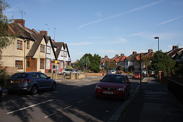
Image: © Martin Addison Taken: 25 Sep 2009
Seen from the Bowes Road end. The road crossing from right to left is Cranbrook Lane. New Southgate is a relatively new name for the area. This road takes its name from the village of Betstyle that was located here in the past. The same applies to Betstyle Circus.
Images are licensed for reuse under creativecommons.org/licenses/by-sa/2.0
Image Location
Latitude
51.616908
Longitude
-0.137868