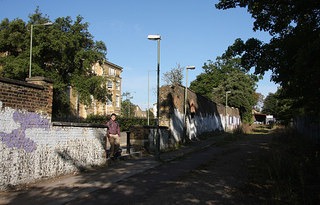
Station Approach
Introduction
The photograph on this page of Station Approach by Martin Addison as part of the Geograph project.
The Geograph project started in 2005 with the aim of publishing, organising and preserving representative images for every square kilometre of Great Britain, Ireland and the Isle of Man.
There are currently over 7.5m images from over 14,400 individuals and you can help contribute to the project by visiting https://www.geograph.org.uk

Image: © Martin Addison Taken: 25 Sep 2009
Long since closed to road traffic and generally negelcted, this was the original access to the station on the west side of the line and possibly served a small gas works located further down the hill as well. Behind the wall, through a gap in which a late morning commuter is walking, is Princes Park Manor, the one-time Colney Hatch asylum. The road that is visible through the gap is Regal Drive.

