
Start of bridleway heading up Gwynfan
Introduction
The photograph on this page of Start of bridleway heading up Gwynfan by Nigel Brown as part of the Geograph project.
The Geograph project started in 2005 with the aim of publishing, organising and preserving representative images for every square kilometre of Great Britain, Ireland and the Isle of Man.

There are currently over 7.5m images from over 14,400 individuals and you can help contribute to the project by visiting https://www.geograph.org.uk
Start of bridleway heading up Gwynfan
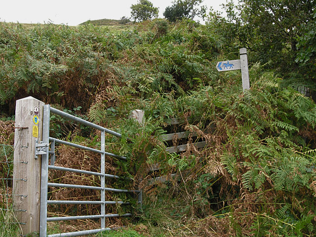
Image: © Nigel Brown Taken: 25 Sep 2009
This is just in the square, being about 10 metres to the west of where the forest boundary meets the road. The maps are a bit inaccurate here; the 1:25000 map doesn't show how the bridleway levels out and heads more easterly as it reaches the road, while the 1:50000 shows it heading straight uphill, which is wrong.
Images are licensed for reuse under creativecommons.org/licenses/by-sa/2.0
Image Location

Latitude
52.575278
Longitude
-3.801298