The old line of the Cairnshill Road, Belfast
Introduction
The photograph on this page of The old line of the Cairnshill Road, Belfast by Dean Molyneaux as part of the Geograph project.
The Geograph project started in 2005 with the aim of publishing, organising and preserving representative images for every square kilometre of Great Britain, Ireland and the Isle of Man.

There are currently over 7.5m images from over 14,400 individuals and you can help contribute to the project by visiting https://www.geograph.org.uk
The old line of the Cairnshill Road, Belfast
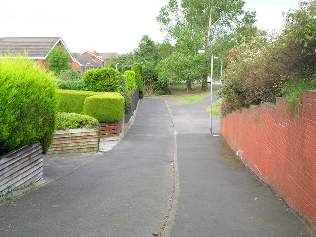
Image: © Dean Molyneaux Taken: 24 Sep 2009
In 1986, with 100s of homes being built by Fraser Homes Ltd (Malvern and Rossdale developments), the Cairnshill Road was widened, realigned and raised to meet the demand. The narrower old road is now incorporated into Newton Heights, except this out of place stretch of pavement.
Images are licensed for reuse under creativecommons.org/licenses/by-sa/2.0
Image Location
Latitude
54.551273
Longitude
-5.896237