Cairnshill Road at Pennington Park, Belfast
Introduction
The photograph on this page of Cairnshill Road at Pennington Park, Belfast by Dean Molyneaux as part of the Geograph project.
The Geograph project started in 2005 with the aim of publishing, organising and preserving representative images for every square kilometre of Great Britain, Ireland and the Isle of Man.

There are currently over 7.5m images from over 14,400 individuals and you can help contribute to the project by visiting https://www.geograph.org.uk
Cairnshill Road at Pennington Park, Belfast
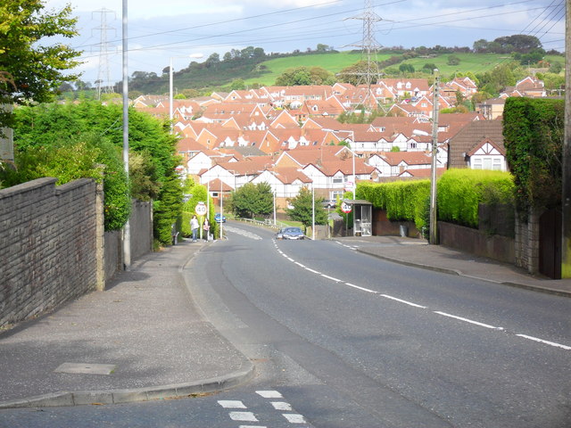
Image: © Dean Molyneaux Taken: 24 Sep 2009
The Cairnshill Road was widened and realigned in 1986 in order to meet the demands of the massive Fraser Homes development (nearly every house in this picture).
Images are licensed for reuse under creativecommons.org/licenses/by-sa/2.0
Image Location
Latitude
54.550748
Longitude
-5.897036