Pembrokeshire Coast Path
Introduction
The photograph on this page of Pembrokeshire Coast Path by Pauline E as part of the Geograph project.
The Geograph project started in 2005 with the aim of publishing, organising and preserving representative images for every square kilometre of Great Britain, Ireland and the Isle of Man.

There are currently over 7.5m images from over 14,400 individuals and you can help contribute to the project by visiting https://www.geograph.org.uk
Pembrokeshire Coast Path
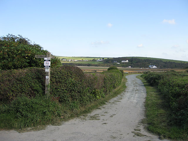
Image: © Pauline E Taken: 15 Sep 2009
Heads off between the salt-marsh and the caravans at this point towards the bridge over the Afon Nyfer.
Images are licensed for reuse under creativecommons.org/licenses/by-sa/2.0
Image Location


Leaflet Map data © OpenStreetMap
Latitude
52.020346
Longitude
-4.839144