The National Forest Line at Ashby
Introduction
The photograph on this page of The National Forest Line at Ashby by Trevor Rickard as part of the Geograph project.
The Geograph project started in 2005 with the aim of publishing, organising and preserving representative images for every square kilometre of Great Britain, Ireland and the Isle of Man.

There are currently over 7.5m images from over 14,400 individuals and you can help contribute to the project by visiting https://www.geograph.org.uk
The National Forest Line at Ashby
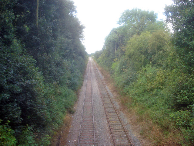
Image: © Trevor Rickard Taken: 29 Aug 2009
Looking west from the Upper Packington Road bridge along the now freight-only line. No houses in sight as it runs through the town in a wooded cutting.
Images are licensed for reuse under creativecommons.org/licenses/by-sa/2.0
Image Location
Latitude
52.742858
Longitude
-1.467001