Entering Ashby
Introduction
The photograph on this page of Entering Ashby by Trevor Rickard as part of the Geograph project.
The Geograph project started in 2005 with the aim of publishing, organising and preserving representative images for every square kilometre of Great Britain, Ireland and the Isle of Man.

There are currently over 7.5m images from over 14,400 individuals and you can help contribute to the project by visiting https://www.geograph.org.uk
Entering Ashby
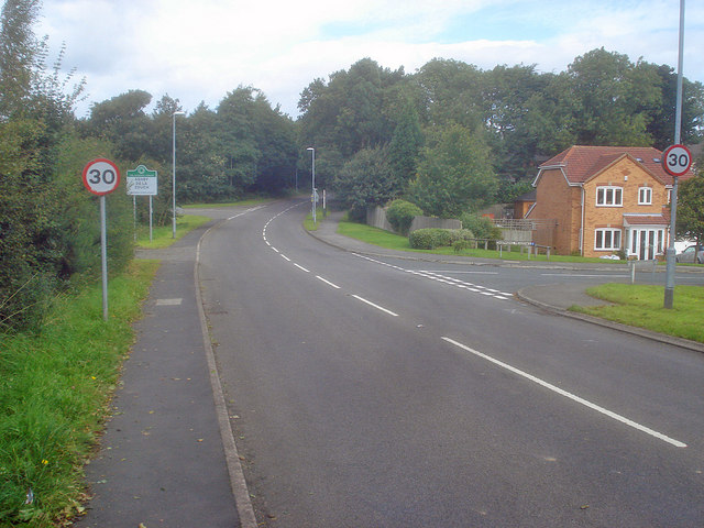
Image: © Trevor Rickard Taken: 29 Aug 2009
Heading north along Upper Packington Road. On the right is Chapmans Meadows and on the left beyond the town sign is Lower Packington Road. Although formally 'Ashby de la Zouch', the locals call it just plain 'Ashby'.
Images are licensed for reuse under creativecommons.org/licenses/by-sa/2.0
Image Location
Latitude
52.738448
Longitude
-1.465869