The Saxon Shore path and cycleway, Walmer
Introduction
The photograph on this page of The Saxon Shore path and cycleway, Walmer by John Rostron as part of the Geograph project.
The Geograph project started in 2005 with the aim of publishing, organising and preserving representative images for every square kilometre of Great Britain, Ireland and the Isle of Man.

There are currently over 7.5m images from over 14,400 individuals and you can help contribute to the project by visiting https://www.geograph.org.uk
The Saxon Shore path and cycleway, Walmer
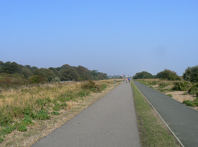
Image: © John Rostron Taken: 19 Sep 2009
An excellent footpath for those of us with arthritic knees and crutches. At this point, the cycleway is to the right (east) of the footpath. Just north of here, it switches to the left (west), as seen in Image
Images are licensed for reuse under creativecommons.org/licenses/by-sa/2.0
Image Location
Latitude
51.195346
Longitude
1.403478