Saddleworth Road and Long Wall, Elland
Introduction
The photograph on this page of Saddleworth Road and Long Wall, Elland by Humphrey Bolton as part of the Geograph project.
The Geograph project started in 2005 with the aim of publishing, organising and preserving representative images for every square kilometre of Great Britain, Ireland and the Isle of Man.

There are currently over 7.5m images from over 14,400 individuals and you can help contribute to the project by visiting https://www.geograph.org.uk
Saddleworth Road and Long Wall, Elland
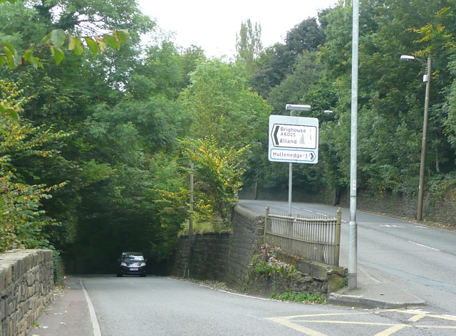
Image: © Humphrey Bolton Taken: 17 Sep 2009
Long Wall to the right was the B6114 and leads to Elland town centre, although this is perversely signposted via Saddleworth Road, which is narrow and has an awkward junction with Briggate at Elland Bridge. Saddleworth Road was the A6025, but is now the B6114. The signs are in the modern style, with chevrons, so 'A6025' should be in brackets as it is not reached until after crossing Elland Bridge. I have noticed elsewhere that recent signposts sometimes ignore B road numbers.
Images are licensed for reuse under creativecommons.org/licenses/by-sa/2.0
Image Location
Latitude
53.685364
Longitude
-1.851578