Branksome Dene Road
Introduction
The photograph on this page of Branksome Dene Road by Mike Faherty as part of the Geograph project.
The Geograph project started in 2005 with the aim of publishing, organising and preserving representative images for every square kilometre of Great Britain, Ireland and the Isle of Man.

There are currently over 7.5m images from over 14,400 individuals and you can help contribute to the project by visiting https://www.geograph.org.uk
Branksome Dene Road
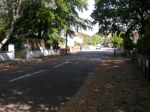
Image: © Mike Faherty Taken: 22 Sep 2009
The boundary between Bournemouth and Poole runs diagonally across this road; in front of the street sign next to the lamp post on the left hand side to in front of the street sign on the right is in Poole; beyond the signs, in Bournemouth. There is no other physical boundary apart from the signs.
Images are licensed for reuse under creativecommons.org/licenses/by-sa/2.0
Image Location
Latitude
50.713553
Longitude
-1.905051