The approach to Clarence Mill
Introduction
The photograph on this page of The approach to Clarence Mill by Alan Murray-Rust as part of the Geograph project.
The Geograph project started in 2005 with the aim of publishing, organising and preserving representative images for every square kilometre of Great Britain, Ireland and the Isle of Man.

There are currently over 7.5m images from over 14,400 individuals and you can help contribute to the project by visiting https://www.geograph.org.uk
The approach to Clarence Mill
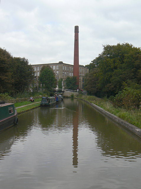
Image: © Alan Murray-Rust Taken: 15 Sep 2009
Being on a boat allows a different perspective even compared with the towpath.
Images are licensed for reuse under creativecommons.org/licenses/by-sa/2.0
Image Location
Latitude
53.30017
Longitude
-2.100041