2009 : Pucklechurch, the southern approaches
Introduction
The photograph on this page of 2009 : Pucklechurch, the southern approaches by Maurice Pullin as part of the Geograph project.
The Geograph project started in 2005 with the aim of publishing, organising and preserving representative images for every square kilometre of Great Britain, Ireland and the Isle of Man.

There are currently over 7.5m images from over 14,400 individuals and you can help contribute to the project by visiting https://www.geograph.org.uk
2009 : Pucklechurch, the southern approaches
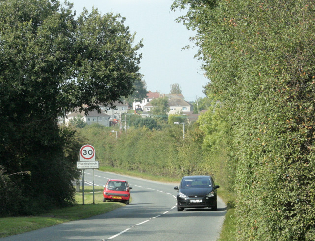
Image: © Maurice Pullin Taken: 19 Sep 2009
Coming in on the minor road from Abson and Wick. This could be worth and entry in the Uxbridge dictionary of place names.
Images are licensed for reuse under creativecommons.org/licenses/by-sa/2.0
Image Location
Latitude
51.48307
Longitude
-2.428233