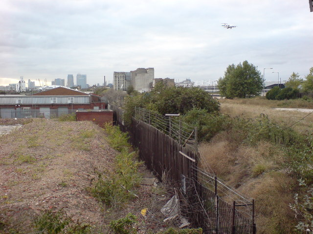
Area to become Silvertown Quays
Introduction
The photograph on this page of Area to become Silvertown Quays by Danny P Robinson as part of the Geograph project.
The Geograph project started in 2005 with the aim of publishing, organising and preserving representative images for every square kilometre of Great Britain, Ireland and the Isle of Man.
There are currently over 7.5m images from over 14,400 individuals and you can help contribute to the project by visiting https://www.geograph.org.uk

Image: © Danny P Robinson Taken: 17 Sep 2009
A large regeneration project is proposed here, called Silvertown Quays. The development will include 5,000 new homes (including over 1,300 affordable units), 7,800 sq m of office space, 7,600 sq m of flexible workspace, 8,000 sq m of community facilities, 5,570 sq m of restaurants and bars and 18,925 sq m of leisure facilities including the aquarium project known as Biota! which is being developed by KUD International with the Zoological Society of London (ZSL). The planning agreement with the London Borough of Newham provides for the Biota! project and a contribution of £25 million towards the cost of infrastructure and local community benefits including a multi-use community centre, a modern library, a major new health centre and a primary school with nursery facilities. There will also be new public open spaces and landscaping, better pedestrian, bus and cycle routes and a new pedestrian bridge across the North Woolwich Road to the new Docklands Light Railway station, which will be subject to an early architectural competition.There will also be high quality restaurants and retail units in what will become a "lively town centre". Over £1m has been committed for training local people. It is expected that upwards of 2,000 jobs will be created with 25 per cent earmarked for Newham residents along with 25 percent of the construction jobs. Ten per cent of the construction jobs will be apprenticeships. The developers have secured a £119m loan facility from the Bank of Scotland which will be used to finance the development.

