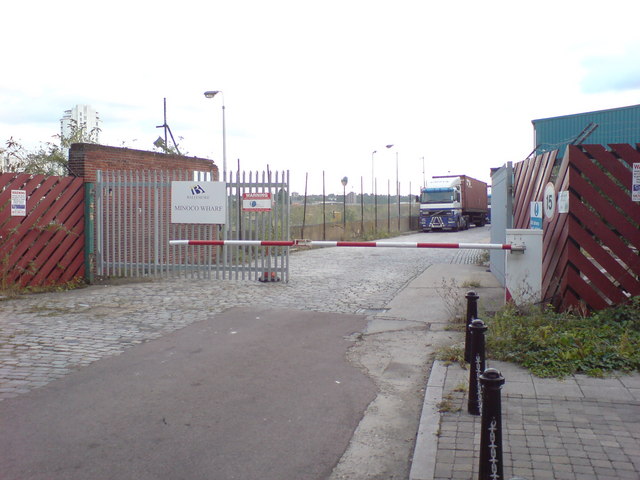
Entrance to Minoco Wharf
Introduction
The photograph on this page of Entrance to Minoco Wharf by Danny P Robinson as part of the Geograph project.
The Geograph project started in 2005 with the aim of publishing, organising and preserving representative images for every square kilometre of Great Britain, Ireland and the Isle of Man.
There are currently over 7.5m images from over 14,400 individuals and you can help contribute to the project by visiting https://www.geograph.org.uk

Image: © Danny P Robinson Taken: 16 Sep 2009
The Gulf Lubricants plant at Minoco Wharf was closed some years ago and the 5.9 hectare site was sold for development. This ended a long connection with oil production going back to 1896. The riverside site is between the Barrier Point residential development to the east and the industrial units to the west. The site is currently owned by the developers Ballymore. In June 2007 a planning application was submitted for a phased mixed development with residential, employment, retail and food and drink components along with community, health, education, cultural, assembly and leisure & recreational uses. There will be vehicular, pedestrian and cycle access from North Woolwich Road. There will also be a marina with lock access to river Thames. The scheme includes public realm, public open space and private amenity space, landscaping and a network of footways and cycleways including a riverside path. The area concerned can just be seen through the wire fencing.

