Herne Hill: Mayall Road, SE24
Introduction
The photograph on this page of Herne Hill: Mayall Road, SE24 by Nigel Cox as part of the Geograph project.
The Geograph project started in 2005 with the aim of publishing, organising and preserving representative images for every square kilometre of Great Britain, Ireland and the Isle of Man.

There are currently over 7.5m images from over 14,400 individuals and you can help contribute to the project by visiting https://www.geograph.org.uk
Herne Hill: Mayall Road, SE24
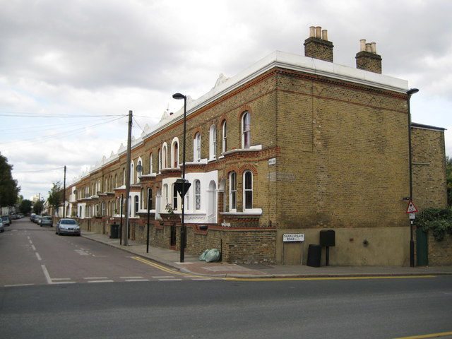
Image: © Nigel Cox Taken: 11 Sep 2009
This is late Victorian terraced housing, typical of many such blocks in South London. The terrace is shown on the 1896 Ordnance Survey map but not on the edition of 1880, which gives a broad clue to the date that it was constructed. The street in front is Shakespeare Road.
Images are licensed for reuse under creativecommons.org/licenses/by-sa/2.0
Image Location
Latitude
51.457135
Longitude
-0.105657