Maesglas junctions, Newport
Introduction
The photograph on this page of Maesglas junctions, Newport by Jaggery as part of the Geograph project.
The Geograph project started in 2005 with the aim of publishing, organising and preserving representative images for every square kilometre of Great Britain, Ireland and the Isle of Man.

There are currently over 7.5m images from over 14,400 individuals and you can help contribute to the project by visiting https://www.geograph.org.uk
Maesglas junctions, Newport
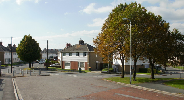
Image: © Jaggery Taken: 16 Sep 2009
The view west from the approach to the railway bridge (behind camera). On the far left, Maesglas Crescent continues beyond the left edge of the photo ; Maesglas Road continues from the bridge along the left side and Maesglas Avenue is on the right.
Images are licensed for reuse under creativecommons.org/licenses/by-sa/2.0
Image Location
Latitude
51.566735
Longitude
-3.008427