Widdicombe
Introduction
The photograph on this page of Widdicombe by Derek Harper as part of the Geograph project.
The Geograph project started in 2005 with the aim of publishing, organising and preserving representative images for every square kilometre of Great Britain, Ireland and the Isle of Man.

There are currently over 7.5m images from over 14,400 individuals and you can help contribute to the project by visiting https://www.geograph.org.uk
Widdicombe
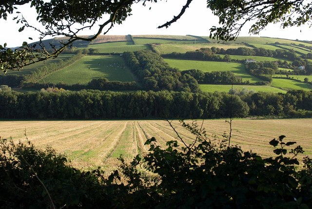
Image: © Derek Harper Taken: 10 Sep 2009
The valley behind Beesands, whose stream ends at the extreme left of the image in Image; a delta has formed, partly overgrown by trees, and blunting the sharp western corner of the lake shown on some maps. Seen from Stokenham Footpath 17.
Images are licensed for reuse under creativecommons.org/licenses/by-sa/2.0
Image Location
Latitude
50.257963
Longitude
-3.663734