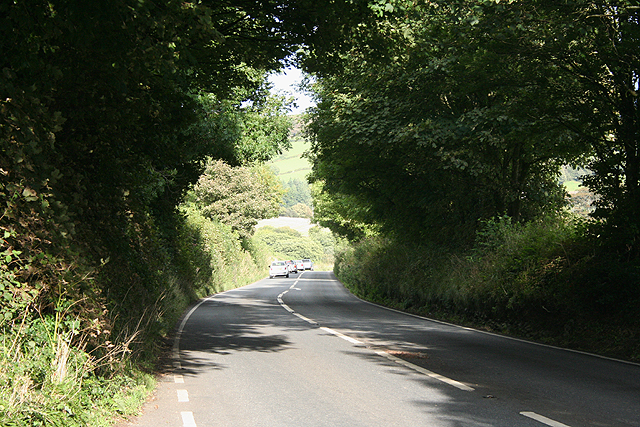
Holbeton: the road to Modbury
Introduction
The photograph on this page of Holbeton: the road to Modbury by Martin Bodman as part of the Geograph project.
The Geograph project started in 2005 with the aim of publishing, organising and preserving representative images for every square kilometre of Great Britain, Ireland and the Isle of Man.
There are currently over 7.5m images from over 14,400 individuals and you can help contribute to the project by visiting https://www.geograph.org.uk

Image: © Martin Bodman Taken: 3 Sep 2009
Near Hollowcombe. This route probably also formed part of the turnpike between Plymouth and Totnes, running via Brixton and Yealmpton and by-passing Ermington and Ugborough before reaching Avonwick and so to the town on the Dart. A turnpike lodge still stands by the crossing of the river Yealm

