Railway bridge in Nickle Farm
Introduction
The photograph on this page of Railway bridge in Nickle Farm by David Anstiss as part of the Geograph project.
The Geograph project started in 2005 with the aim of publishing, organising and preserving representative images for every square kilometre of Great Britain, Ireland and the Isle of Man.

There are currently over 7.5m images from over 14,400 individuals and you can help contribute to the project by visiting https://www.geograph.org.uk
Railway bridge in Nickle Farm
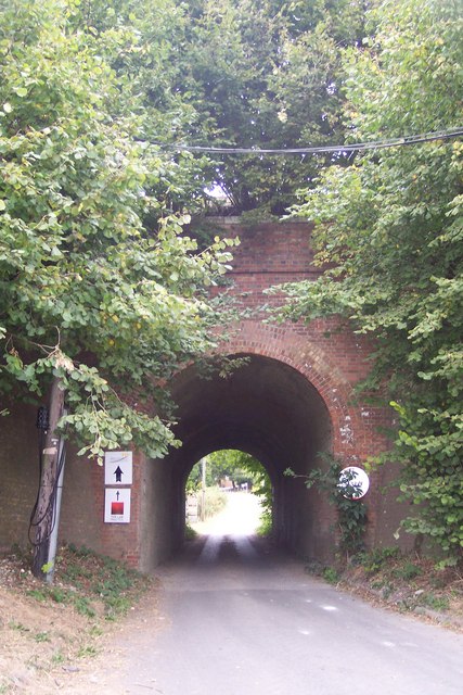
Image: © David Anstiss Taken: 13 Sep 2009
Nickle Farm owns a large orchard either side of the railway. The North Downs Way (long distance path) leads under the bridge towards Chartham Hatch from Old Wives Lees. The railway heads right to Canterbury West.
Images are licensed for reuse under creativecommons.org/licenses/by-sa/2.0
Image Location
Latitude
51.263831
Longitude
0.998069