2009 : Windmill Farm
Introduction
The photograph on this page of 2009 : Windmill Farm by Maurice Pullin as part of the Geograph project.
The Geograph project started in 2005 with the aim of publishing, organising and preserving representative images for every square kilometre of Great Britain, Ireland and the Isle of Man.

There are currently over 7.5m images from over 14,400 individuals and you can help contribute to the project by visiting https://www.geograph.org.uk
2009 : Windmill Farm
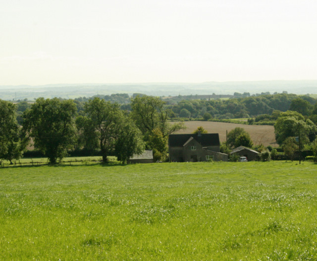
Image: © Maurice Pullin Taken: 11 Sep 2009
Turning to the right from Image we find a better view of the farm, much of which seems to be pasture though there are signs of arable further over.
Images are licensed for reuse under creativecommons.org/licenses/by-sa/2.0
Image Location
Latitude
51.205109
Longitude
-2.502658