The Hospital
Introduction
The photograph on this page of The Hospital by Simon Carey as part of the Geograph project.
The Geograph project started in 2005 with the aim of publishing, organising and preserving representative images for every square kilometre of Great Britain, Ireland and the Isle of Man.

There are currently over 7.5m images from over 14,400 individuals and you can help contribute to the project by visiting https://www.geograph.org.uk
The Hospital
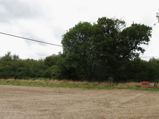
Image: © Simon Carey Taken: 13 Sep 2009
The name of this section of the current field according to the 1838 tithe map though Yeakell & Gardner's 1783 map has it as a section of the highway. Now part of a field called Streat Brooks.
Images are licensed for reuse under creativecommons.org/licenses/by-sa/2.0
Image Location


Leaflet Map data © OpenStreetMap
Latitude
50.91562
Longitude
-0.080783