Harrow Fire Station
Introduction
The photograph on this page of Harrow Fire Station by Martin Addison as part of the Geograph project.
The Geograph project started in 2005 with the aim of publishing, organising and preserving representative images for every square kilometre of Great Britain, Ireland and the Isle of Man.

There are currently over 7.5m images from over 14,400 individuals and you can help contribute to the project by visiting https://www.geograph.org.uk
Harrow Fire Station
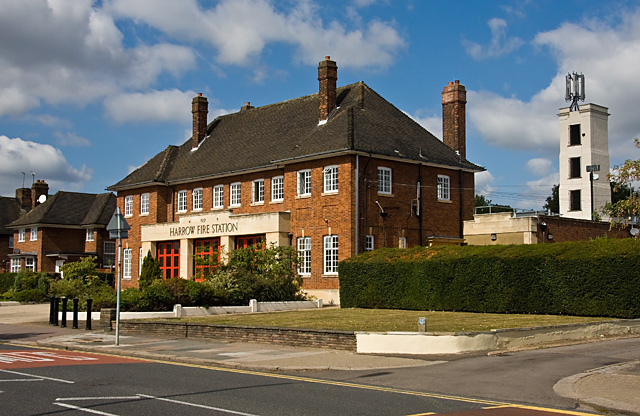
Image: © Martin Addison Taken: 12 Sep 2009
Built in 1937. Behind,on the right, is the practice tower. The doors have had a repaint since this building was last photographed for Geograph by Nigel Cox in 2005, see - Image
Images are licensed for reuse under creativecommons.org/licenses/by-sa/2.0
Image Location
Latitude
51.590811
Longitude
-0.36602