Headstone Lane
Introduction
The photograph on this page of Headstone Lane by Martin Addison as part of the Geograph project.
The Geograph project started in 2005 with the aim of publishing, organising and preserving representative images for every square kilometre of Great Britain, Ireland and the Isle of Man.

There are currently over 7.5m images from over 14,400 individuals and you can help contribute to the project by visiting https://www.geograph.org.uk
Headstone Lane
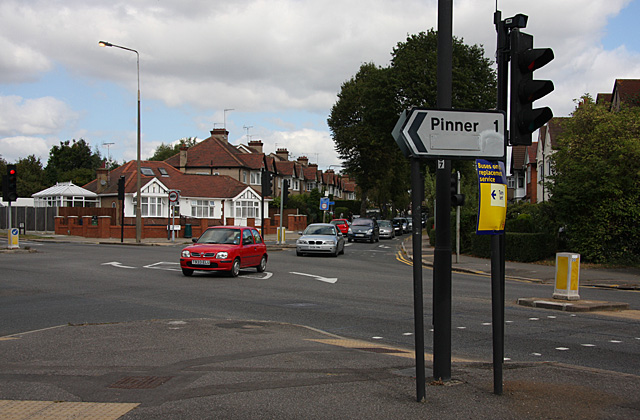
Image: © Martin Addison Taken: 12 Sep 2009
Seen from the junction with Pinner Road, on the right, and George V Avenue on the left. The cars coming straight across the junction are joining the Pinner Road which bends sharply left here.
Images are licensed for reuse under creativecommons.org/licenses/by-sa/2.0
Image Location
Latitude
51.590776
Longitude
-0.363567