Fields - from Bedmond Road
Introduction
The photograph on this page of Fields - from Bedmond Road by Ray Stanton as part of the Geograph project.
The Geograph project started in 2005 with the aim of publishing, organising and preserving representative images for every square kilometre of Great Britain, Ireland and the Isle of Man.

There are currently over 7.5m images from over 14,400 individuals and you can help contribute to the project by visiting https://www.geograph.org.uk
Fields - from Bedmond Road
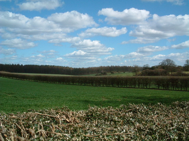
Image: © Ray Stanton Taken: 8 Apr 2006
The St Albans/Three Rivers district boundary runs through these fields. Potters Crouch Plantation in distance. Nice bright day here but meanwhile the Sunderland v Fulham football match was abandoned due to snow!
Images are licensed for reuse under creativecommons.org/licenses/by-sa/2.0
Image Location
Latitude
51.728514
Longitude
-0.414491