Fields near Beeson Pool
Introduction
The photograph on this page of Fields near Beeson Pool by Derek Harper as part of the Geograph project.
The Geograph project started in 2005 with the aim of publishing, organising and preserving representative images for every square kilometre of Great Britain, Ireland and the Isle of Man.

There are currently over 7.5m images from over 14,400 individuals and you can help contribute to the project by visiting https://www.geograph.org.uk
Fields near Beeson Pool
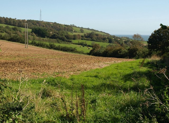
Image: © Derek Harper Taken: 10 Sep 2009
The well-used lane south of Stokenham towards Start Point and Beesands runs along a ridge, and this is taken at Beeson Pool, where it crosses a col between valleys. These fields are in the valley to the east, dropping towards Widdicombe Ley. See also Image, the same scene at a wider angle.
Images are licensed for reuse under creativecommons.org/licenses/by-sa/2.0
Image Location
Latitude
50.25962
Longitude
-3.673612