Fence surrounding redevelopment site
Introduction
The photograph on this page of Fence surrounding redevelopment site by Evelyn Simak as part of the Geograph project.
The Geograph project started in 2005 with the aim of publishing, organising and preserving representative images for every square kilometre of Great Britain, Ireland and the Isle of Man.

There are currently over 7.5m images from over 14,400 individuals and you can help contribute to the project by visiting https://www.geograph.org.uk
Fence surrounding redevelopment site
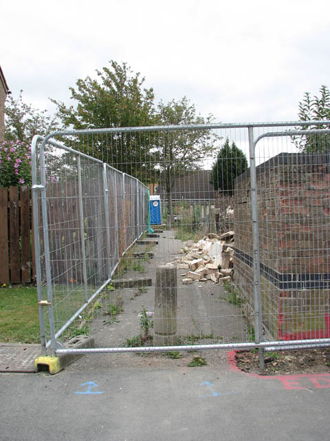
Image: © Evelyn Simak Taken: 13 Sep 2009
Old council houses are being demolished to make way for new housing.
Images are licensed for reuse under creativecommons.org/licenses/by-sa/2.0
Image Location
Latitude
52.461731
Longitude
0.294444