Wood Lane Flooded
Introduction
The photograph on this page of Wood Lane Flooded by Chris Heaton as part of the Geograph project.
The Geograph project started in 2005 with the aim of publishing, organising and preserving representative images for every square kilometre of Great Britain, Ireland and the Isle of Man.

There are currently over 7.5m images from over 14,400 individuals and you can help contribute to the project by visiting https://www.geograph.org.uk
Wood Lane Flooded
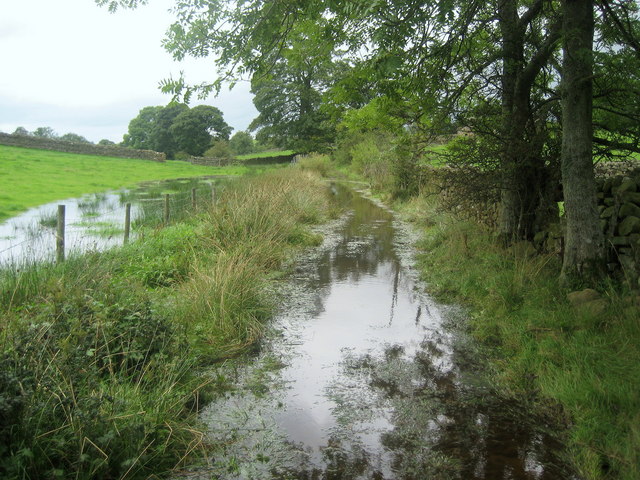
Image: © Chris Heaton Taken: 6 Sep 2009
This track was well and truly flooded, forcing us to detour through a field in order to reach dry land - and proceed to the sanctuary of Dufton Youth Hostel.
Images are licensed for reuse under creativecommons.org/licenses/by-sa/2.0
Image Location
Latitude
54.612136
Longitude
-2.492336