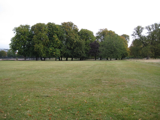
Denmark Hill: Ruskin Park, SE5
Introduction
The photograph on this page of Denmark Hill: Ruskin Park, SE5 by Nigel Cox as part of the Geograph project.
The Geograph project started in 2005 with the aim of publishing, organising and preserving representative images for every square kilometre of Great Britain, Ireland and the Isle of Man.
There are currently over 7.5m images from over 14,400 individuals and you can help contribute to the project by visiting https://www.geograph.org.uk

Image: © Nigel Cox Taken: 11 Sep 2009
In Edwardian times local residents campaigned for a new public park in Denmark Hill, and the renowned parks designer J J Sexby laid out this site on 24 acres of ground. It was named Ruskin Park after John Ruskin, the famous artist, writer and social campaigner, who lived nearby from 1823 to 1871. The park was officially opened to the public in 1907, but was enlarged in 1910 by adding a further 12 acres of land to the south. This new site was separated from the original area of the park by a road called Dane Avenue that linked the present day Ferndene and Finsen Roads. It ran from the present day bend in Ferndene Road (behind the photographer in this view) to the north-eastern end of Finsen Road, and indeed the northern end of the current Ferndene Road, running up to Denmark Hill, formed part of Dane Avenue too. The 1938 Ordnance Survey map shows these arrangements but Dane Avenue now no longer exists. In 2009 for the first time the park was awarded a Lambeth Council Green Flag Award.

