Alley between Norman Road and Malvern Road, Swindon
Introduction
The photograph on this page of Alley between Norman Road and Malvern Road, Swindon by Brian Robert Marshall as part of the Geograph project.
The Geograph project started in 2005 with the aim of publishing, organising and preserving representative images for every square kilometre of Great Britain, Ireland and the Isle of Man.

There are currently over 7.5m images from over 14,400 individuals and you can help contribute to the project by visiting https://www.geograph.org.uk
Alley between Norman Road and Malvern Road, Swindon
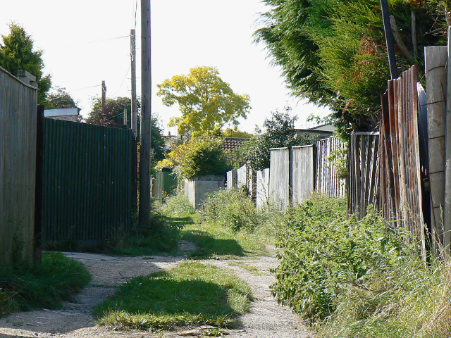
Image: © Brian Robert Marshall Taken: 11 Sep 2009
Norman Road is to the left. Most alleys in Swindon, and there are many in the older parts of the town, are metalled. This one isn't which suggests it has not been adopted. I believe Norman Road was built in the 1920s and, when completed, the backs of the houses on the northern side would have faced open fields with easy access to the back gardens. Malvern Road is a decade or so younger so I would surmise that this alley was left to enable access to the back gardens of Norman Road to continue.
Images are licensed for reuse under creativecommons.org/licenses/by-sa/2.0
Image Location
Latitude
51.573111
Longitude
-1.779617