Dockers Shelter - Redriff Road, SE16
Introduction
The photograph on this page of Dockers Shelter - Redriff Road, SE16 by Chris Lordan as part of the Geograph project.
The Geograph project started in 2005 with the aim of publishing, organising and preserving representative images for every square kilometre of Great Britain, Ireland and the Isle of Man.

There are currently over 7.5m images from over 14,400 individuals and you can help contribute to the project by visiting https://www.geograph.org.uk
Dockers Shelter - Redriff Road, SE16
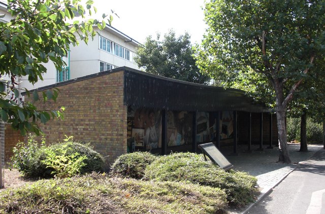
Image: © Chris Lordan Taken: 10 Sep 2009
It is a replica about 50 yards north of Lower Road; the original was on the opposite side of the road and much closer to Lower Road. It was a place where hundreds of dockers met about 7am each weekday morning hoping to be signed on (bomping on) for a day's work. They would completely block the junction, which at the time had two-way traffic. Why the replica was built where it is anyone's guess; the original site would have been perfect.
Images are licensed for reuse under creativecommons.org/licenses/by-sa/2.0
Image Location
Latitude
51.49302
Longitude
-0.045682