Cycle route 43 passes under the A48
Introduction
The photograph on this page of Cycle route 43 passes under the A48 by Nigel Davies as part of the Geograph project.
The Geograph project started in 2005 with the aim of publishing, organising and preserving representative images for every square kilometre of Great Britain, Ireland and the Isle of Man.

There are currently over 7.5m images from over 14,400 individuals and you can help contribute to the project by visiting https://www.geograph.org.uk
Cycle route 43 passes under the A48
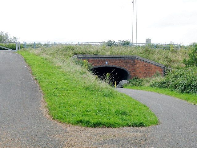
Image: © Nigel Davies Taken: 5 Sep 2009
The riverride cycle route is following the path of a dismantled railway through Swansea Vale. At this point there used to be a station or halt for the demolished tin plate works.
Images are licensed for reuse under creativecommons.org/licenses/by-sa/2.0
Image Location
Latitude
51.663649
Longitude
-3.91861