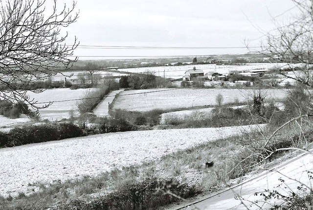
Mill Lane, Swindon, in winter
Introduction
The photograph on this page of Mill Lane, Swindon, in winter by P L Chadwick as part of the Geograph project.
The Geograph project started in 2005 with the aim of publishing, organising and preserving representative images for every square kilometre of Great Britain, Ireland and the Isle of Man.
There are currently over 7.5m images from over 14,400 individuals and you can help contribute to the project by visiting https://www.geograph.org.uk

Image: © P L Chadwick Taken: Unknown
Mill Lane, covered in snow, can be seen in the immediate foreground, then in the middle of the picture, before it makes a sharp right turn. Perhaps the past tense should be used, because much of this road is likely to disappear and maybe already has. Mill Lane had the misfortune to be sitting in the middle of Swindon's so-called "front garden". This was the area of land, mainly farmland, on the south side of Swindon, sitting between the old railway line (from where this photo was taken) and the M4 motorway. It was called a garden, because it was envisaged it would remain a very pleasant green buffer between the built-up area and the motorway. But a combination of factors over-turned this, and now the area is to be developed, but probably in slow motion, because of the present economic climate.

