Hornsby, the approach to the settlement
Introduction
The photograph on this page of Hornsby, the approach to the settlement by John Fielding as part of the Geograph project.
The Geograph project started in 2005 with the aim of publishing, organising and preserving representative images for every square kilometre of Great Britain, Ireland and the Isle of Man.

There are currently over 7.5m images from over 14,400 individuals and you can help contribute to the project by visiting https://www.geograph.org.uk
Hornsby, the approach to the settlement
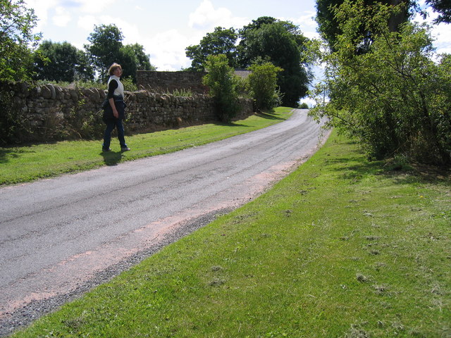
Image: © John Fielding Taken: 19 Jul 2009
Hornsby is a hamlet set out along a no through road. It is located about 11 miles from Carlisle by road. It developed from the early 19th century. Water was piped from a spring at the foot of the nearby fells. There was no development in the 20th century until the late 1970s when several suburban style commuter dwellings were built on either 'gap' or redevelopment sites. Note the contrast between the traditional and modern houses and in particular their roof construction. The roofs of the traditional houses have no eaves. They were designed to resist the strong winds that are a regular weather feature of this area. The design of the modern houses takes no account of local weather conditions. Their roofs are vulnerable to wind damage. The design of traditional buildings has often evolved over hundreds of years to suit local conditions perfectly. The design of modern buildings is usually determined by national building regulations and lifestyle trends. At the end of the road there is a view over the valley of the river Eden towards the hills of the Lake District (see NY5149). There is a footpath to the river but it is poorly marked and usually overgrown. Hawkcliff Scar is well worth the walk.
Images are licensed for reuse under creativecommons.org/licenses/by-sa/2.0
Image Location
Latitude
54.84327
Longitude
-2.755198