Harts House
Introduction
The photograph on this page of Harts House by Jonathan Billinger as part of the Geograph project.
The Geograph project started in 2005 with the aim of publishing, organising and preserving representative images for every square kilometre of Great Britain, Ireland and the Isle of Man.

There are currently over 7.5m images from over 14,400 individuals and you can help contribute to the project by visiting https://www.geograph.org.uk
Harts House
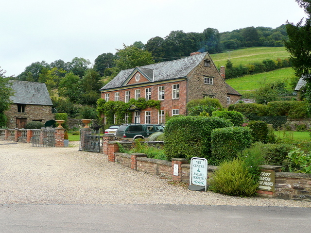
Image: © Jonathan Billinger Taken: 30 Aug 2009
The main house at the centre of a crafts and veterinery business by the A4136 between Longhope and Mitcheldean.
Images are licensed for reuse under creativecommons.org/licenses/by-sa/2.0
Image Location


Leaflet Map data © OpenStreetMap
Latitude
51.8635
Longitude
-2.47279