Dirt track across Avenue Approach
Introduction
The photograph on this page of Dirt track across Avenue Approach by John Goldsmith as part of the Geograph project.
The Geograph project started in 2005 with the aim of publishing, organising and preserving representative images for every square kilometre of Great Britain, Ireland and the Isle of Man.

There are currently over 7.5m images from over 14,400 individuals and you can help contribute to the project by visiting https://www.geograph.org.uk
Dirt track across Avenue Approach
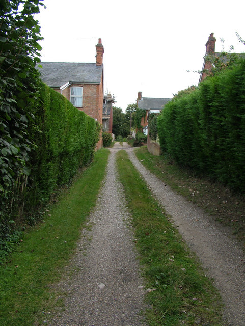
Image: © John Goldsmith Taken: 6 Sep 2009
Part of the rectangular array of roads and dirt tracks in this part of Bury St. Edmunds (See Image), this one runs across Avenue Approach, one of the metalled roads, and continues on the other side. Avenue Approach has unintentionally become one of the significant traffic routes across the town, despite various features inserted to annoy drivers.
Images are licensed for reuse under creativecommons.org/licenses/by-sa/2.0
Image Location
Latitude
52.258073
Longitude
0.709613