Junction of Bye Pass Road and High Road
Introduction
The photograph on this page of Junction of Bye Pass Road and High Road by Alan Murray-Rust as part of the Geograph project.
The Geograph project started in 2005 with the aim of publishing, organising and preserving representative images for every square kilometre of Great Britain, Ireland and the Isle of Man.

There are currently over 7.5m images from over 14,400 individuals and you can help contribute to the project by visiting https://www.geograph.org.uk
Junction of Bye Pass Road and High Road
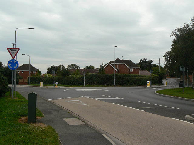
Image: © Alan Murray-Rust Taken: 6 Sep 2009
High Road is the old main road, replaced in the 1930s by the by pass. The road name signs are spelt Bye Pass, although OS maps show By-pass Road.
Images are licensed for reuse under creativecommons.org/licenses/by-sa/2.0
Image Location
Latitude
52.918396
Longitude
-1.231944