Countryside near Howton
Introduction
The photograph on this page of Countryside near Howton by Derek Harper as part of the Geograph project.
The Geograph project started in 2005 with the aim of publishing, organising and preserving representative images for every square kilometre of Great Britain, Ireland and the Isle of Man.

There are currently over 7.5m images from over 14,400 individuals and you can help contribute to the project by visiting https://www.geograph.org.uk
Countryside near Howton
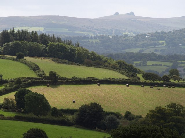
Image: © Derek Harper Taken: 3 Sep 2009
A view southwards from Moretonhampstead Bridleway 9. The lane crossing the image is from Butterdon to Sandhill Cross, and the woodland at the back is at Trips. In the distance are the double rocks of Hay Tor.
Images are licensed for reuse under creativecommons.org/licenses/by-sa/2.0
Image Location
Latitude
50.671862
Longitude
-3.773147