Featherbed Lane
Introduction
The photograph on this page of Featherbed Lane by Trevor Rickard as part of the Geograph project.
The Geograph project started in 2005 with the aim of publishing, organising and preserving representative images for every square kilometre of Great Britain, Ireland and the Isle of Man.

There are currently over 7.5m images from over 14,400 individuals and you can help contribute to the project by visiting https://www.geograph.org.uk
Featherbed Lane
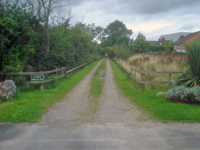
Image: © Trevor Rickard Taken: 15 Aug 2009
Heading north out of the housing estate is the intriguingly-named Featherbed Lane. The sign on the left reads 'No vehicles beyond this point'. The housing estate carries on off to the right along Astley Way.
Images are licensed for reuse under creativecommons.org/licenses/by-sa/2.0
Image Location
Latitude
52.752438
Longitude
-1.458439