Grange Burn
Introduction
The photograph on this page of Grange Burn by Richard Webb as part of the Geograph project.
The Geograph project started in 2005 with the aim of publishing, organising and preserving representative images for every square kilometre of Great Britain, Ireland and the Isle of Man.

There are currently over 7.5m images from over 14,400 individuals and you can help contribute to the project by visiting https://www.geograph.org.uk
Grange Burn
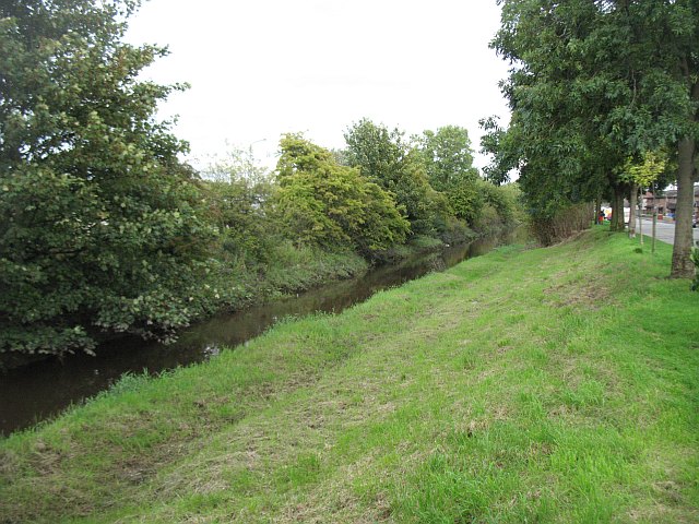
Image: © Richard Webb Taken: 4 Sep 2009
Canalised flood menace and part of an elaborate protection scheme for this very low lying town. The burn separates residential areas from the docks.
Images are licensed for reuse under creativecommons.org/licenses/by-sa/2.0
Image Location
Latitude
56.019679
Longitude
-3.71588